How to Read a Tide Chart for Kayakers: A Clear Guide to Understanding Tides and Planning Your Paddling Trip
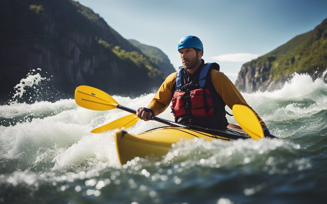
Kayaking is a fun and exciting way to explore the great outdoors, but knowing the tides when paddling in areas they influence is important. Tides can change rapidly, and failure to understand them can lead to dangerous situations. That’s why kayakers need to know how to read a tide chart.
A tide chart is a graphical representation of the predicted times and heights of the tides in a particular area. By understanding how to read a tide chart, kayakers can plan their paddling trips to take advantage of the tides, avoid dangerous conditions, and make the most of their time on the water. In this article, we’ll explore the basics of reading a tide chart and how to use its information to make informed decisions while kayaking.
Understanding tide charts is a crucial skill for any kayaker, whether you’re a beginner or an experienced paddler. Knowing how to read a tide chart can help you avoid dangerous conditions, plan your paddling trips more effectively, and make the most of your time on the water. In the following sections, we’ll take a closer look at how to read a tide chart and use its information to stay safe and have fun while kayaking.
Key Takeaways
- Understanding how to read a tide chart is essential for kayakers.
- A tide chart provides predicted times and heights of tides in a particular area.
- By using a tide chart, kayakers can plan their paddling trips, avoid dangerous conditions, and make the most of their time on the water.

Understanding Tide Charts
Tide charts are essential for kayakers who plan to paddle in areas affected by tides. These charts provide information about the water levels at different times of the day, allowing paddlers to plan their trip accordingly. Understanding how to read a tide chart is crucial for safe and successful kayaking.
Interpreting the Graph
Tide charts typically show a graph representing the water levels over a 24-hour. The x-axis represents time, while the y-axis represents the water level. The graph usually includes two lines, one for high tide and one for low tide. The distance between the lines indicates the range of the tide, while the time stamps on the x-axis indicate when the tide will occur.
Kayakers should pay attention to the range of the tide when planning their trip. A large range means that the water level will change significantly over a short period of time, which can create strong currents and potentially dangerous conditions. A small range means the water level will change less dramatically, making for calmer conditions.
Reading the Time
In addition to the graph, tide charts provide information about the high and low tide times. Kayakers should note these times when planning their trip, as they will affect the water level and current. High tide is when the water level is at its highest, while low tide is when the water level is at its lowest.
It’s important to note that the time of high and low tide can vary depending on the location. Kayakers should always check the tide chart for their specific area and date to ensure they have the most accurate information.
In summary, understanding how to read a tide chart is essential for kayakers who plan to paddle in areas affected by tides. By interpreting the graph and reading the high and low tide times, kayakers can plan their trip safely and successfully.
Importance of Tide Charts for Kayakers
Tide charts are essential for kayakers who want to navigate safely and enjoy paddling trips. Understanding how to read and interpret a tide chart can help kayakers plan their trips, avoid dangerous conditions, and optimize their paddling experience.
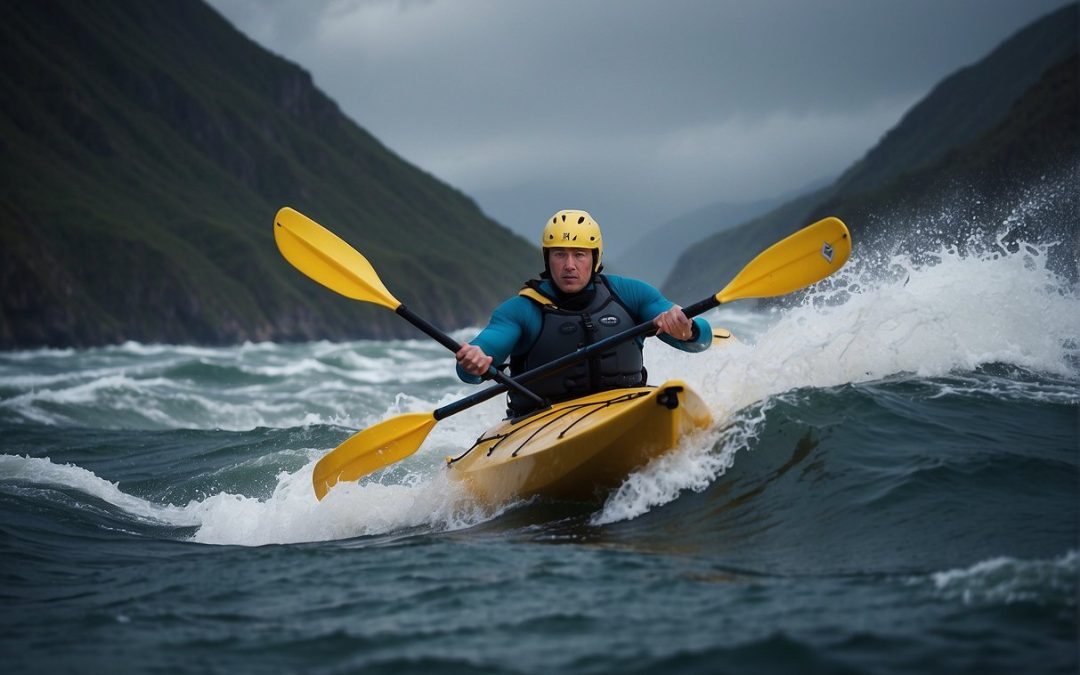
Safety Precautions
Tide charts provide critical information about the height and timing of tides, which can help kayakers avoid dangerous conditions. High tides can create strong currents and waves, while low tides can expose rocks, reefs, and other hazards. By checking the tide chart before heading out, kayakers can plan their route and timing to avoid these hazards and stay safe on the water.
It’s important to note that tide charts are not foolproof and should not be relied upon as the sole source of information for kayaking safety. Kayakers should also check weather forecasts, wind conditions, and other factors that can impact their trip. Additionally, kayakers should always wear appropriate safety gear, such as a life jacket, and have a plan in an emergency.
Optimal Paddling Conditions
Tide charts can also help kayakers optimize their paddling experience by identifying the best times and conditions. For example, kayakers can use tide charts to plan their trip during a time of day when the tide is low, which can provide calmer waters and easier paddling conditions. Alternatively, kayakers can plan their trip during a time of day when the tide is high, which can provide access to normally inaccessible areas.
Tide charts can also help kayakers plan their trip based on the direction and strength of the tide. For example, kayakers can use the tide chart to identify when the tide is flowing in the direction they want to go, boosting their paddling speed and making the trip easier and more enjoyable.
In summary, tide charts are essential for kayakers who want to navigate and optimize their paddling trips safely. By understanding how to read and interpret tide charts, kayakers can plan their trip, avoid dangerous conditions, and enjoy a safe and enjoyable paddling experience.

How to Use Tide Charts for Kayaking
Kayakers must be aware of the tides and their effects on the water. Understanding tide charts is crucial for planning a safe and successful kayaking trip. Here are some tips on how to use tide charts for kayaking.
Planning Your Route
Before heading out, kayakers should plan their route based on the tide charts. High and low tides can significantly affect water levels, currents, and the trip’s distance. It’s essential to know the day’s tide schedule and the kayaking trip’s location.
Based on the tide charts, Kayakers should also determine the best time to launch and return. Launching during high tide can make it easier to navigate through shallow areas while launching during low tide can make it more difficult to launch and land the kayak.
Timing Your Trip
Timing is everything when kayaking with tides. Kayakers should start their trip with the incoming tide, which can boost speed and make paddling easier. Conversely, kayakers should end their trip with the outgoing tide, as it can boost speed and make returning to the launch point easier.
Kayakers should also consider the current and wind direction when planning their trip. Paddling against the current and wind can make the trip more challenging and exhausting while paddling with the current and wind can make it easier and faster.
In conclusion, kayakers should always check the tide charts before heading out and plan their trip accordingly. By understanding the tide schedule and planning their route and timing, kayakers can have a safe and enjoyable trip on the water.
Common Mistakes When Reading Tide Charts
When kayaking in tidal areas, it is essential to understand how to read a tide chart accurately. However, many kayakers must correct their interpretation of this information, leading to dangerous situations. Below are some common mistakes to avoid when reading tide charts.
Ignoring Weather Conditions
One of the most common mistakes kayakers make when reading tide charts is ignoring weather conditions. Weather can significantly affect tide levels, and failing to consider this information can lead to dangerous situations. For example, strong winds can cause tides to rise higher than predicted, while low-pressure systems can cause tides to be lower than expected. It is essential to check weather conditions before heading out and adjust your plans accordingly.
Misreading the Time
Another common mistake is misreading the time. Tide charts display times in either 12-hour or 24-hour format; it is essential to understand which format is used. Additionally, kayakers must be aware of the time zone used in the tide chart. If the chart uses a different time zone than your location, you must adjust the times accordingly. Misreading the time can lead to being caught in the wrong tidal conditions, which can be dangerous.
It is crucial to take the time to learn how to read a tide chart accurately before heading out on the water. By avoiding common mistakes such as ignoring weather conditions and misreading the time, kayakers can ensure their safety and enjoyment while paddling in tidal areas.

Benefits of How to Read a Tide Chart
Knowing how to read a tide chart can be extremely beneficial for kayakers. Here are a few reasons why:
1. Safety
Tides can have a significant impact on the safety of kayakers. By understanding how tides work, kayakers can avoid dangerous situations such as strong currents, unexpected waves, and shallow waters. Knowing when the tide is coming in or going out can also help kayakers plan their trips accordingly and avoid getting stranded in areas that may become inaccessible due to the tide.
2. Navigation
Tide charts can provide valuable information for kayakers navigating coastal areas. Understanding the timing and height of tides can help kayakers plan their routes and avoid areas that may become difficult to navigate due to the tide. This can be especially important for kayakers exploring new areas or unfamiliar with the local tides.
3. Fishing
For kayakers who enjoy fishing, understanding tides can be crucial. Fish tend to be more active during certain stages of the tide, and knowing when these stages occur can help kayakers increase their chances of catching fish. Tide charts can also provide information on the speed and direction of the current, which can be helpful when fishing in areas with strong currents.
4. Planning
Finally, knowing how to read a tide chart can help kayakers plan their trips more effectively. By understanding the timing and height of tides, kayakers can plan their trips to coincide with the most favorable conditions. This can help kayakers conserve energy and avoid unnecessary paddling, making their trips more enjoyable and less exhausting.
Learning how to read a tide chart can provide kayakers with valuable information that can enhance their safety, navigation, fishing, and overall experience on the water.
Conclusion
In conclusion, reading a tide chart is an essential skill for kayakers who want to paddle in areas affected by tides. Understanding tide charts can help kayakers plan their trips, avoid dangerous conditions, and take advantage of the best paddling conditions.
Following the steps outlined in the previous sections, kayakers can learn how to read tide charts and use the information to their advantage. It is important to remember that tide charts are just predictions, and conditions may vary due to weather, wind, and other factors.
Kayakers should also be aware of the terminology used to describe tides, such as high tide, low tide, and chart datum, and how to interpret the information provided in tide charts, such as tide times, wave height, and intervals.
With practice and experience, kayakers can become proficient in reading tide charts and using the information to plan safe and enjoyable paddling trips.

Pros and Cons of How to Read a Tide Chart
Reading a tide chart is essential for kayakers who want to navigate the waters safely and efficiently. However, there are pros and cons to using this method.
Pros
Accurate Information
Tide charts provide accurate information about the timing and height of tides. This information is crucial for kayakers planning their trips around the tides. Using this information, kayakers can avoid getting stranded on mudflats or caught in dangerous currents.
Easy to Access
Tide charts are widely available online, in local newspapers, and at marinas. They are also easy to read and interpret, making them accessible to kayakers of all skill levels.
Predictable Tides
Tide charts allow kayakers to predict the tides for weeks or months in advance. This predictability makes it easier for kayakers to plan their trips and avoid dangerous conditions.
Cons
Limited to Specific Locations
Tide charts are specific to certain locations and may not be accurate for nearby areas. Kayakers need to have access to tide charts that are specific to their location to ensure the accuracy of the information.
Weather Variability
Weather conditions can affect the tides and make them unpredictable. Kayakers must know about weather conditions and how they may impact the tides.
Requires Interpretation
Tide charts may require interpretation, and kayakers must understand how to read them correctly. A correct interpretation can lead to incorrect predictions and dangerous conditions.
Reading a tide chart can provide kayakers with accurate and reliable information about the tides. However, it is important to understand this method’s limitations and be aware of weather conditions that may impact the tides.
| Element | Explanation |
| Date and Time | The date and time is usually shown along the top or bottom of the chart. This tells you the time period for which the tide predictions are made. |
| High Tide and Low Tide | The high tide and low tide are represented by symbols on the chart. The high tide symbol is usually a circle with two lines underneath, while the low tide symbol is a circle with a single line. |
| Tide Level | The tide level is usually shown in feet or meters, and is represented by a vertical scale on the side of the chart. This tells you how high or low the tide will be at a given time. |
| Current Direction and Speed | The chart may also show the direction and speed of the current. This is represented by arrows on the chart. The length and direction of the arrows indicate the speed and direction of the current. |
| Moon Phase | The chart may also show the phase of the moon. This can be useful for predicting the strength of the tides, as the gravitational pull of the moon affects the tides. |
| Reference Station | The chart may also include a reference station, which is the location for which the tide predictions are made. Make sure that the reference station is close to your location, as the tides can vary significantly over short distances. |

Frequently Asked Questions
What are the dangers of kayaking in tidal rivers?
Kayaking in tidal rivers can be dangerous due to the strong currents that can pull kayakers off course. The currents can be unpredictable and change rapidly, making it difficult to navigate the river. Additionally, kayakers may encounter obstacles such as rocks, logs, and debris that can cause injury or damage to their kayaks.
How can I determine the best tide for kayaking?
Kayakers should aim to kayak during the slack tide, the period between high and low tides when the water is calm. They can determine the slack tide using a tide chart or app specific to their location. It’s important to note that the slack tide can occur at different times each day, so kayakers should check the tide chart before heading out.
In what ways does tide affect kayaking?
The tide affects kayaking in several ways, including the current’s speed and direction, the water’s depth, and the presence of obstacles such as rocks and sandbars. Kayakers should know these factors and adjust their route and speed accordingly.
Can you explain the 50-90 rule for sea kayaking?
The 50-90 rule is a guideline for sea kayaking that recommends avoiding kayaking in water below 50 degrees Fahrenheit or above 90 degrees Fahrenheit. Water temperatures below 50 degrees can cause hypothermia, while temperatures above 90 degrees can cause heat exhaustion.
What are the implications of a high tide of 7 feet for kayakers?
A high tide of 7 feet can create strong currents and deep water, which can be challenging for kayakers to navigate. Kayakers should know the tide height and adjust their route and speed accordingly. Additionally, they should be prepared for potential obstacles, such as rocks and debris hidden under the water.
What precautions should I take when kayaking in changing tides?
Kayakers should know the changing tides and adjust their route and speed accordingly. They should also be prepared for potential obstacles, such as rocks and debris that may be exposed or hidden under the water. Kayakers should wear appropriate safety gear such as a life jacket and carry a means of communication in case of emergency.